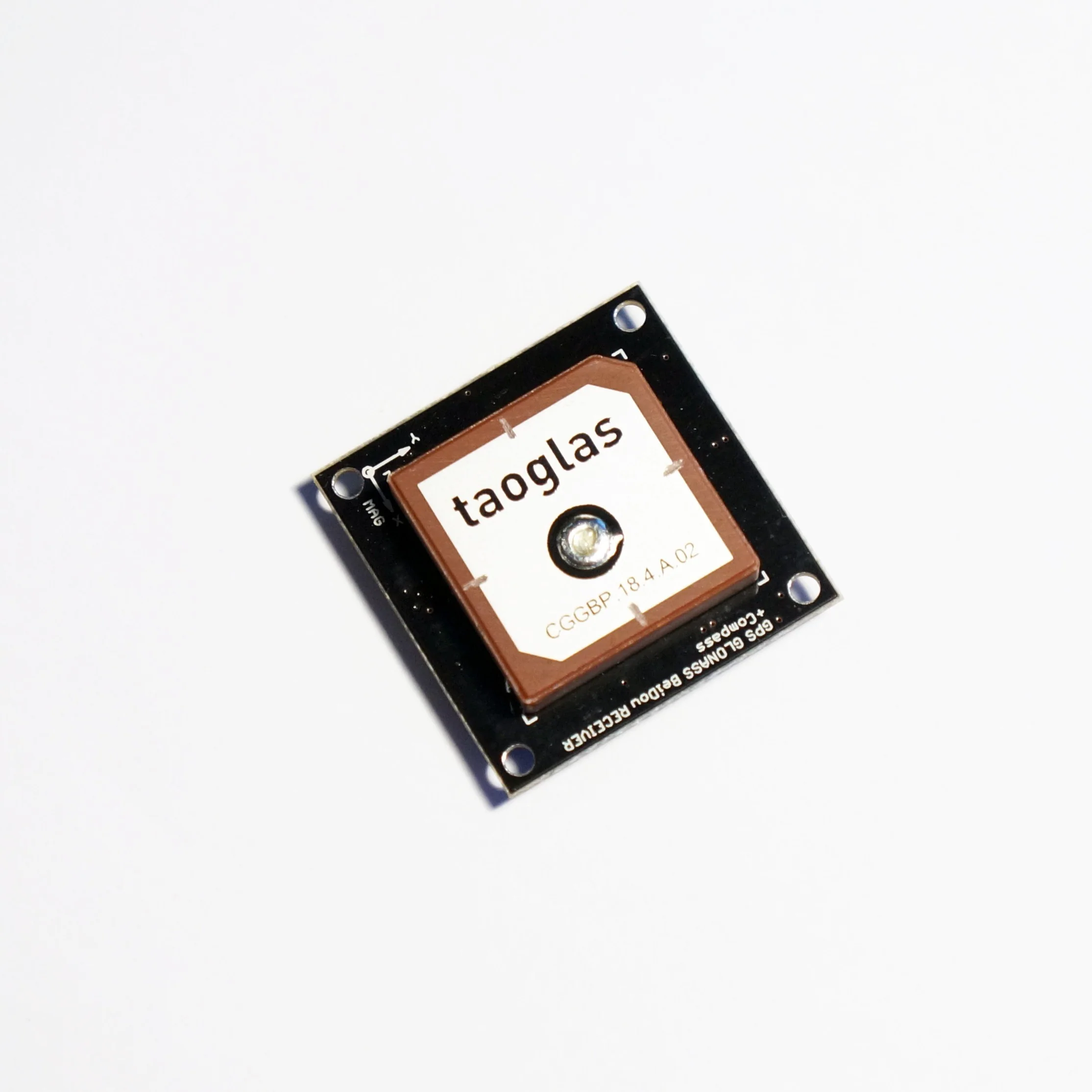
UM981 GNSS Receiver with MultiBand antenna and EMI + LIS3MDL
Unicore UM981S/UM981-02 All-constellation Multi-frequency High Precision RTK GNSS receivers
The UM981S/UM981-02 is a next-generation, patented Unicore navigation modules utilizing RTK and INS technologies. They can simultaneously track multiple satellite systems and frequencies, including GPS, BDS, GLONASS, Galileo, QZSS, NavIC, and SBAS.
Modules has an integrated inertial measurement unit (IMU) for inter-station navigation.
UM981S — supports tilt compensation, making it ideal for surveying and mapping applications.
UM981-02 — has an integrated U-Fusion navigation algorithm, which ensures continuous positioning even when the GNSS signal is lost, guaranteeing high-quality positioning results in challenging environments such as buildings, tunnels, overpasses, and tree shadows. This module is designed for high-precision navigation and positioning in precision agriculture and other applications with similar dynamic characteristics.
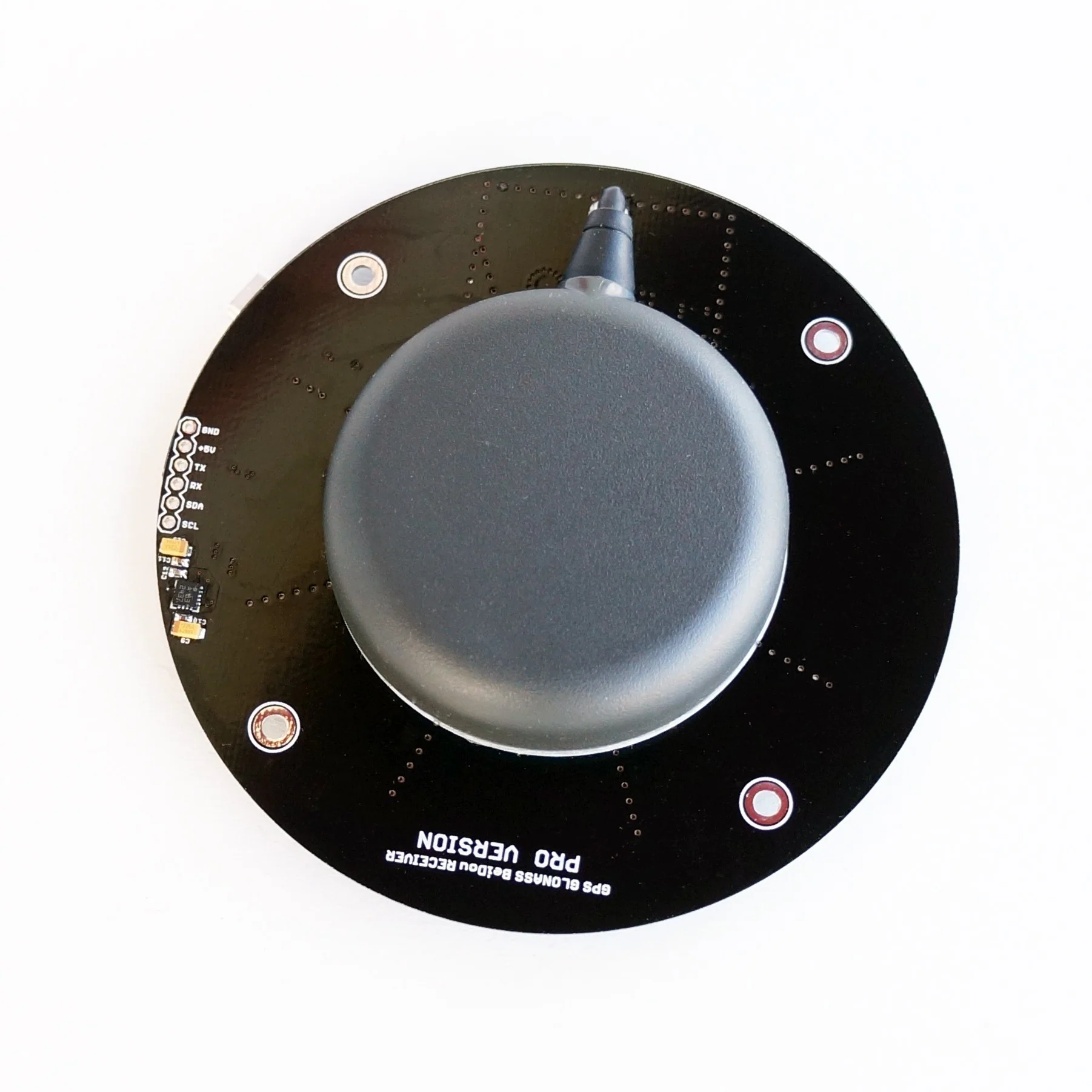
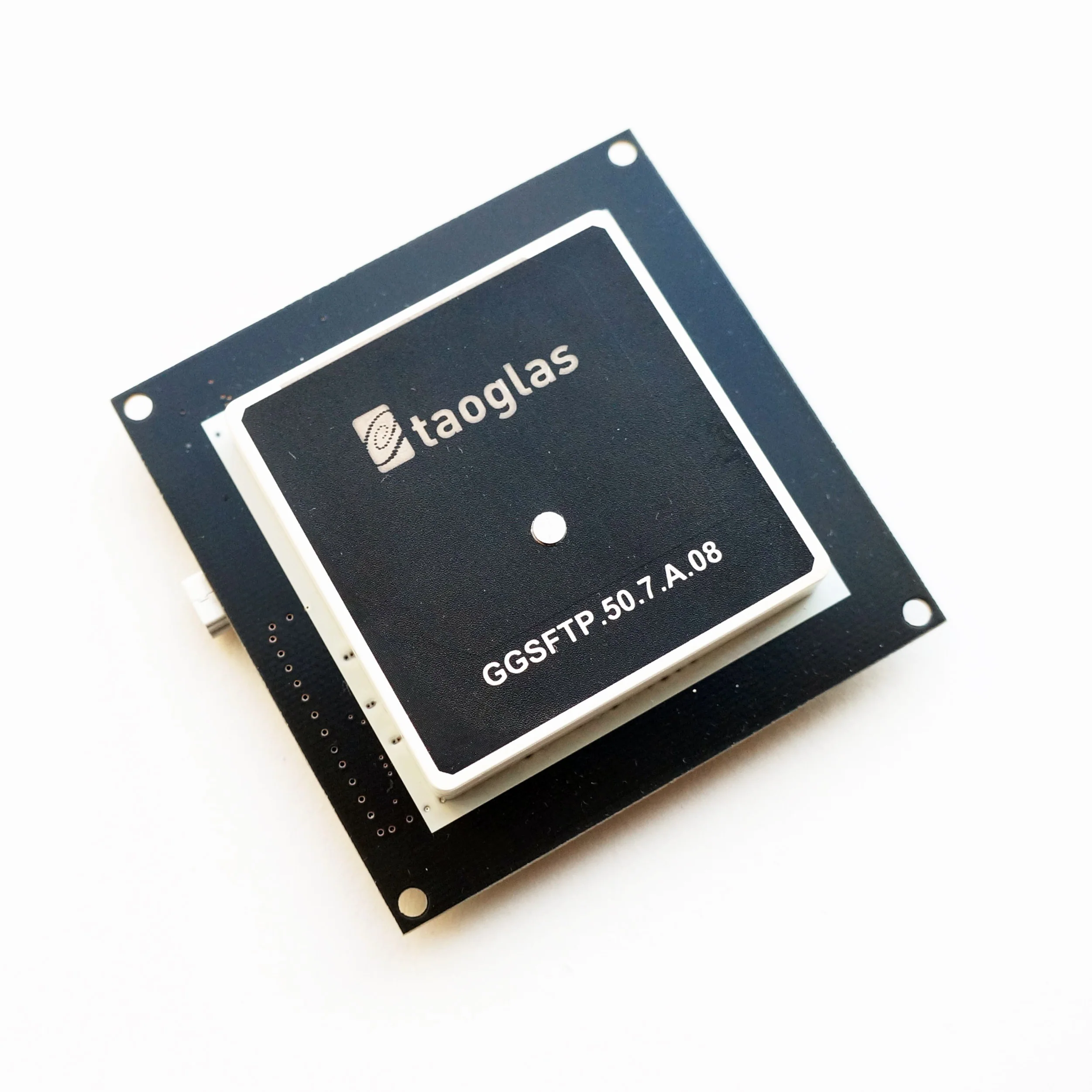
- Build-in Four-Star High-Precision Full-frequency 61mm patch antenna
- On-board low-noise 3.3V voltage regulator
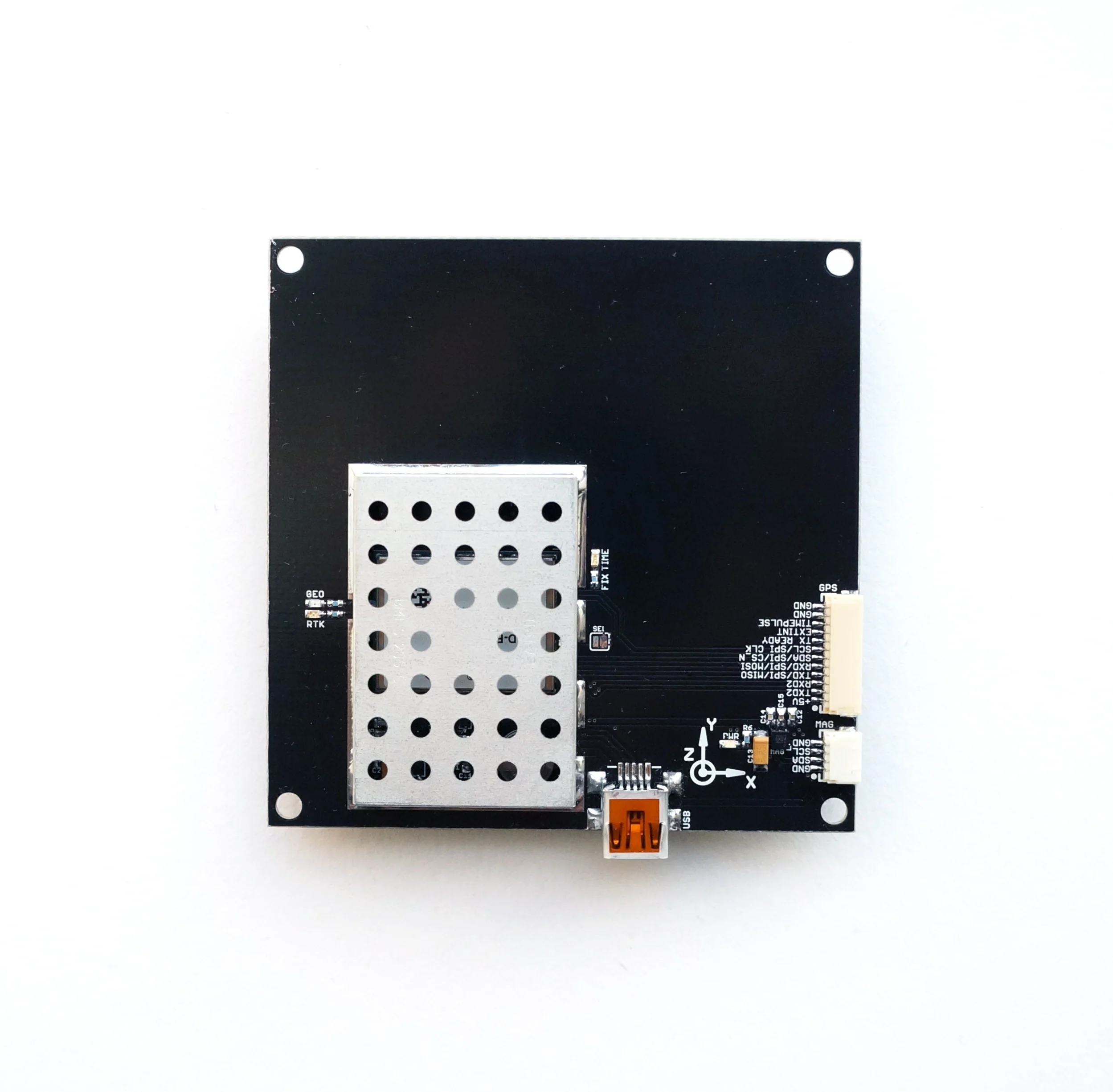
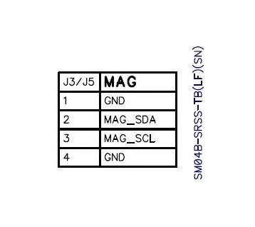
- On-board LIS3MDL magnetometer
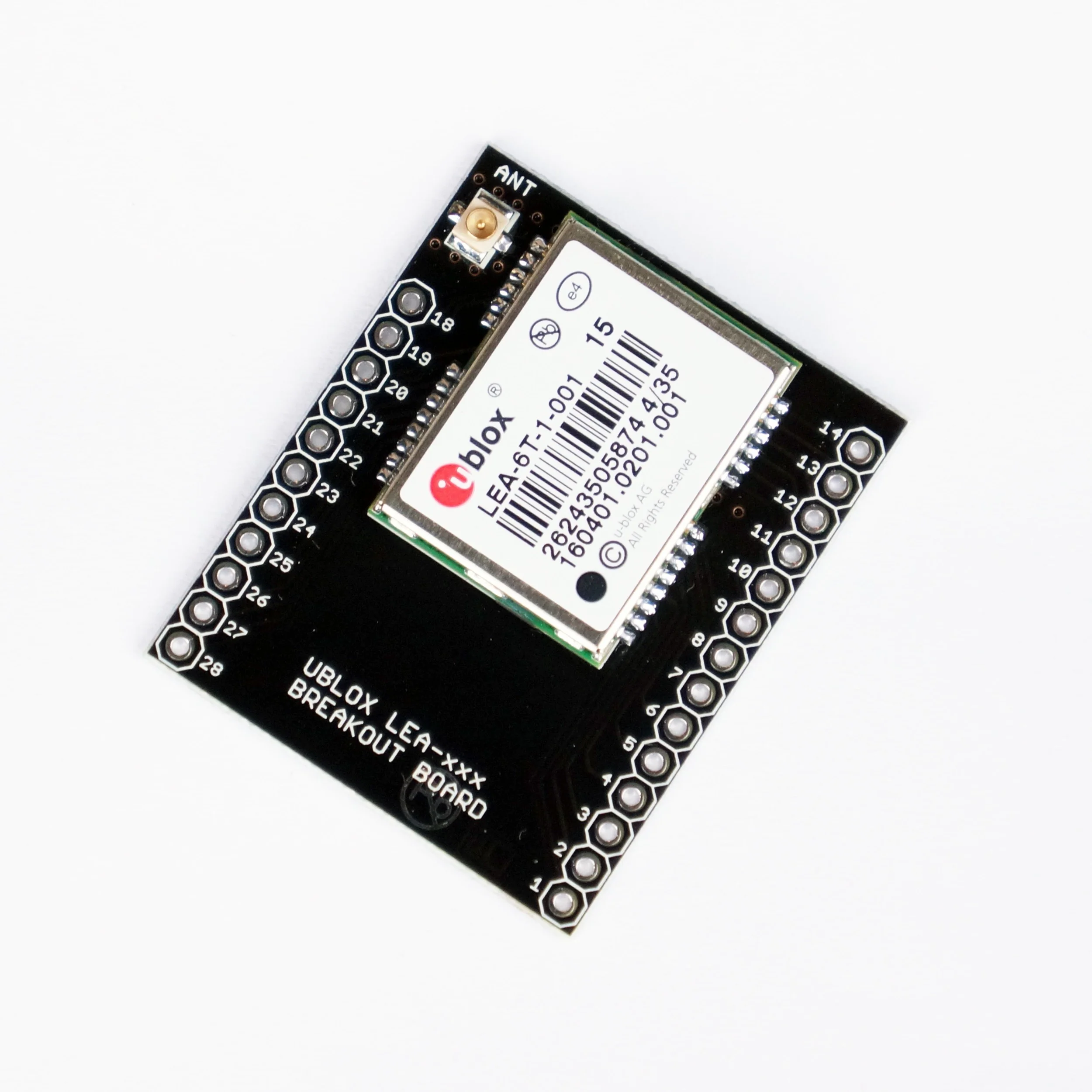
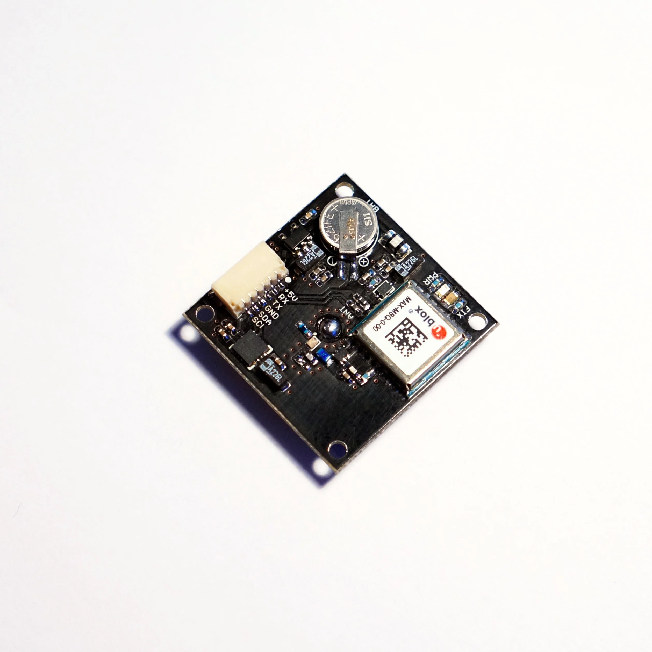
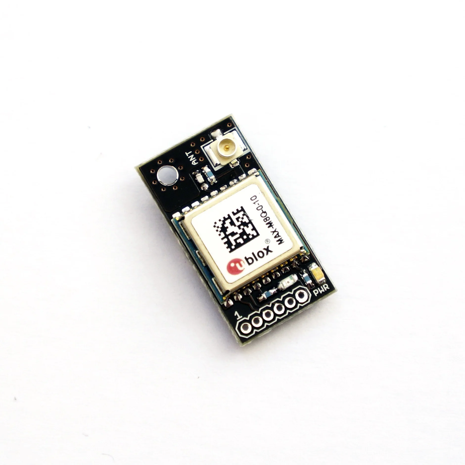
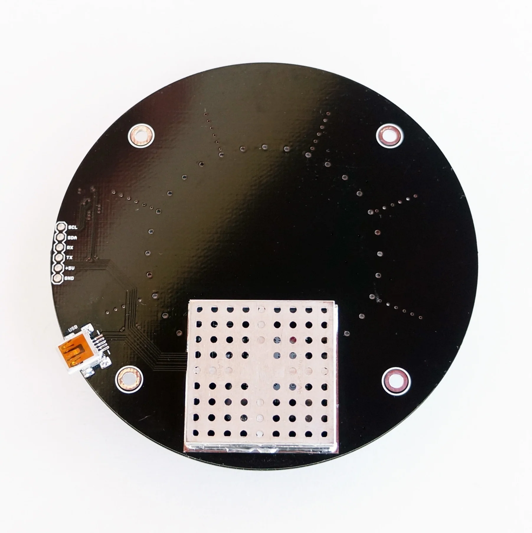
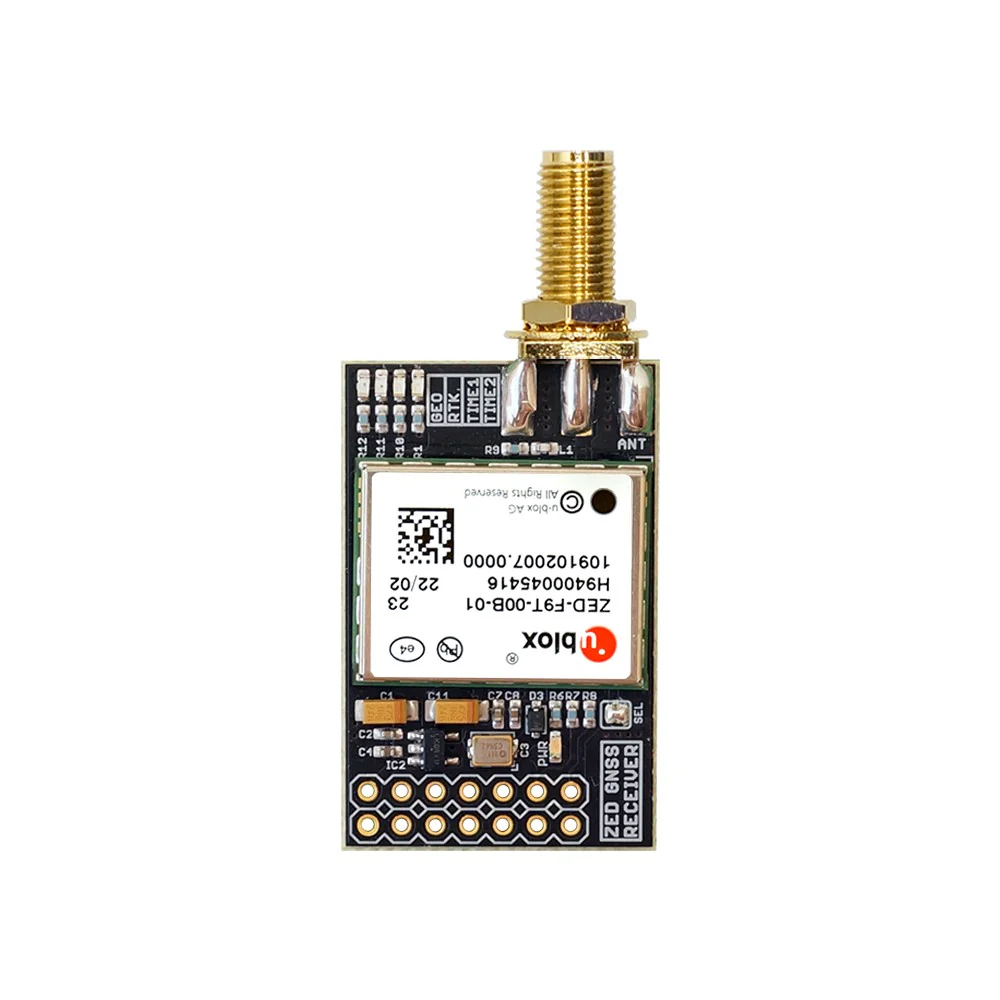
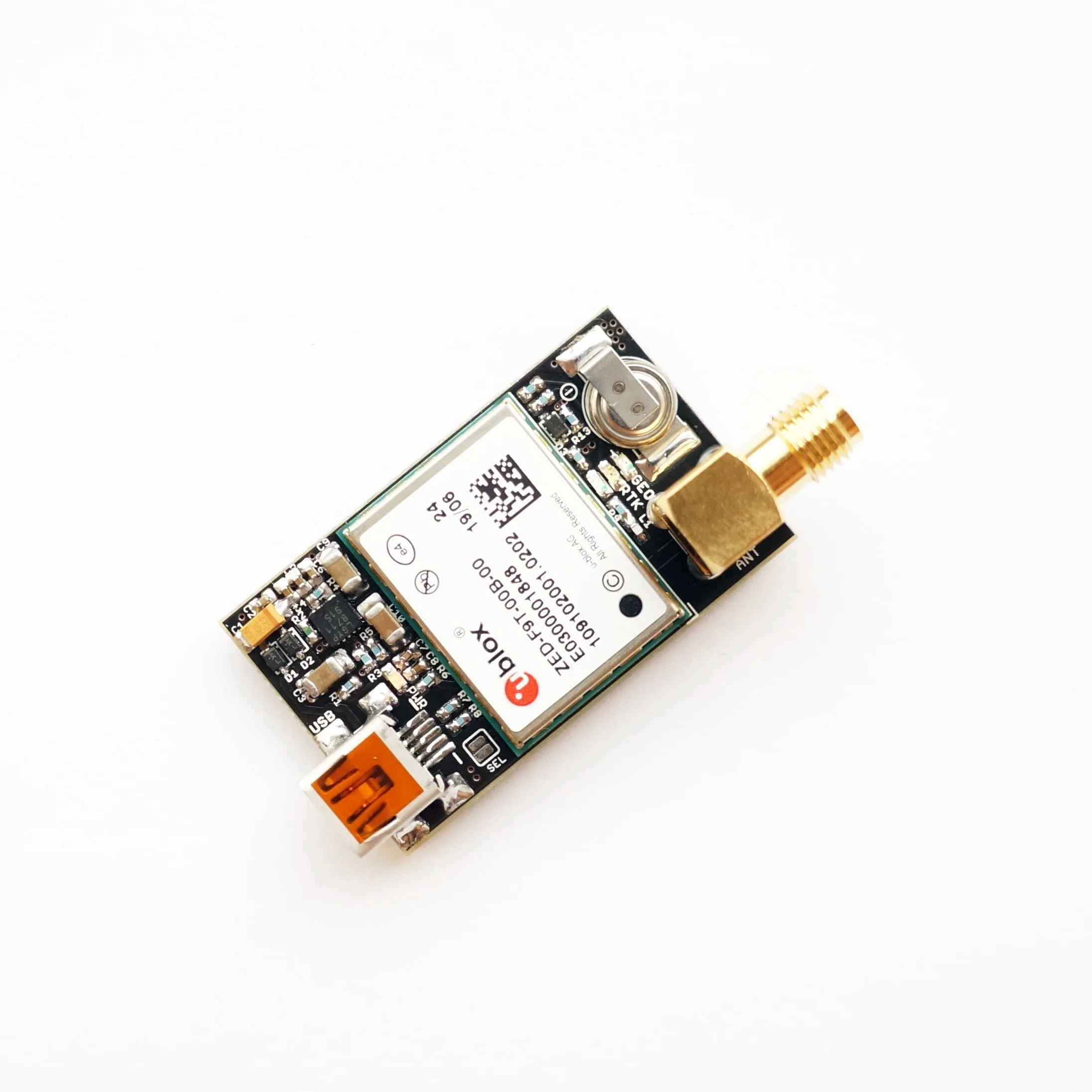
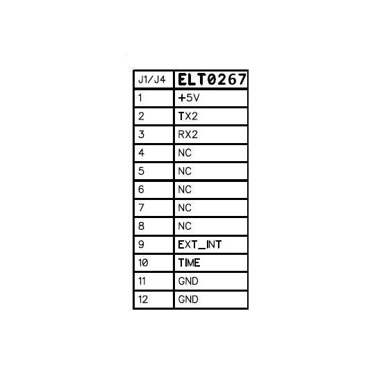
- USB and UART (Tx, Rx) interface
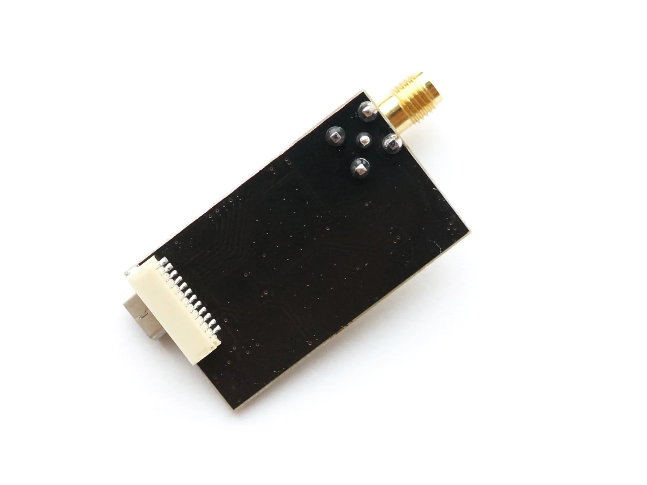
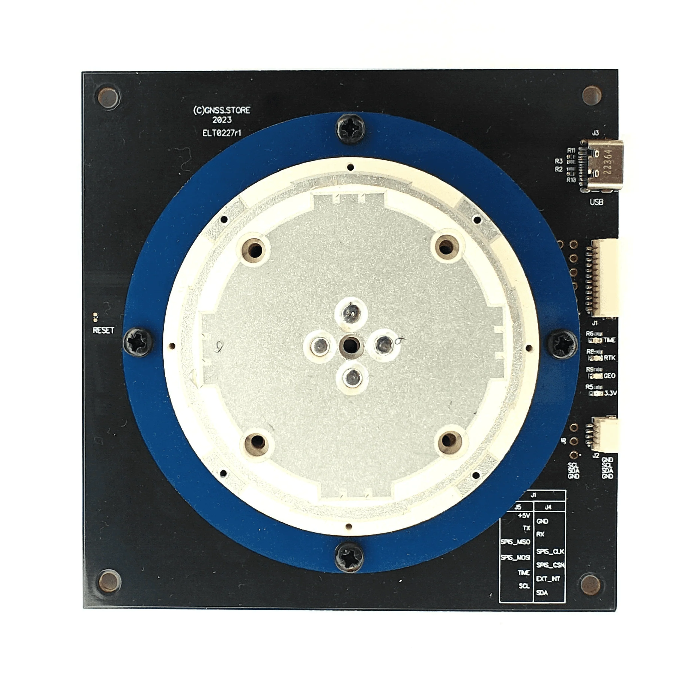
- USB C and two JST connectors
- Purple Power LED, green Time pulse LED, red PVT LED, orange RTK LED
- Extensive visualization and evaluation features
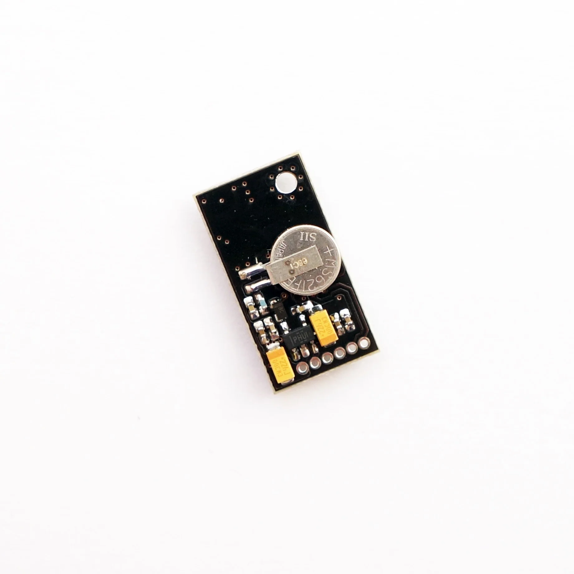
- Backup supercapacitor
- Dimensions 100x100 mm
- Weight: 152 g
- Fully assembled and ready to use
Original: $373.78
-65%$373.78
$130.82Product Information
Product Information
Shipping & Returns
Shipping & Returns
Description
Unicore UM981S/UM981-02 All-constellation Multi-frequency High Precision RTK GNSS receivers
The UM981S/UM981-02 is a next-generation, patented Unicore navigation modules utilizing RTK and INS technologies. They can simultaneously track multiple satellite systems and frequencies, including GPS, BDS, GLONASS, Galileo, QZSS, NavIC, and SBAS.
Modules has an integrated inertial measurement unit (IMU) for inter-station navigation.
UM981S — supports tilt compensation, making it ideal for surveying and mapping applications.
UM981-02 — has an integrated U-Fusion navigation algorithm, which ensures continuous positioning even when the GNSS signal is lost, guaranteeing high-quality positioning results in challenging environments such as buildings, tunnels, overpasses, and tree shadows. This module is designed for high-precision navigation and positioning in precision agriculture and other applications with similar dynamic characteristics.
- Build-in Four-Star High-Precision Full-frequency 61mm patch antenna
- On-board low-noise 3.3V voltage regulator
- On-board LIS3MDL magnetometer
- USB and UART (Tx, Rx) interface
- USB C and two JST connectors
- Purple Power LED, green Time pulse LED, red PVT LED, orange RTK LED
- Extensive visualization and evaluation features
- Backup supercapacitor
- Dimensions 100x100 mm
- Weight: 152 g
- Fully assembled and ready to use